


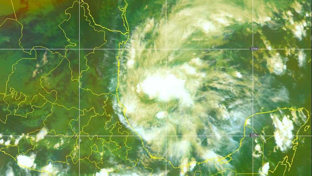
Impacts of Tropical Storm Isaias Across the Gulf Coast and Southeast
A significant impact is being felt in parts of Georgia and South Carolina as Tropical Storm Isaias unleashed heavy rain and coastal flooding after making landfall near Destin, Florida, on Friday evening. Residents are urged to remain vigilant as the storm continues to affect the region.
Weather Alerts Issued
The National Weather Service (NWS) has issued multiple alerts for the area, highlighting the danger of flooded roads, rapidly rising waters, and hazardous rip currents. Individuals planning to travel should stay updated on the latest forecasts and advisories.
Heavy Rainfall and Flood Watch
A flood watch is in effect until late Saturday night for southeastern areas of Georgia and South Carolina. Widespread rainfall amounts are expected to range from 1 to 3 inches, with localized areas potentially receiving between 3 to 6 inches. The most intense rain bands could bring rates of up to 2 inches per hour.
- Flooding risks exist for rivers, creeks, and neighborhoods prone to drainage issues.
- Urban areas may also experience flooding and road closures.
- Major cities affected include Savannah, Statesboro, and Tybee Island in Georgia, and Charleston and Hilton Head Island in South Carolina.
Minor Flooding in Savannah
Current conditions in Savannah report minor flooding, prompting a flood advisory for Bryan and Chatham counties until 9:15 a.m. on Saturday. Doppler radar has indicated heavy rainfall, which is expected to lead to minor flooding in low-lying and poorly drained regions.
Areas particularly susceptible to flooding include:
- Downtown Savannah
- Tybee Island
- Wilmington Island
- Montgomery and Fort Pulaski National Monument
Drivers are warned to avoid flooded roads, as most flood-related fatalities occur in vehicles.
Coastal Flooding Concerns
A coastal flood advisory has been issued for Saturday morning from 7 to 11 a.m. impacting Georgia’s coastal counties, including Bryan, Chatham, Liberty, and McIntosh, as well as Beaufort and Jasper counties in South Carolina. Residents should prepare for possible saltwater inundation of up to 6 inches along shorelines and tidal waterways.
High tide at Fort Pulaski is projected around 8:45 a.m., with flooding risks lasting one to two hours before and after this peak time. Travelers should allow extra time for safe movement and comply with any barricades.
Rip Current Dangers
Along the beaches of Georgia and southern South Carolina, a high risk of rip currents persists until Saturday evening. These currents can pose a significant threat to swimmers, regardless of their experience level. Safety precautions include:
- Swimming only in designated areas monitored by lifeguards.
- If caught in a rip current, remain calm, float, and do not swim directly against it.
- Move parallel to the shore until out of the current’s pull, then head back to the beach.
Conclusion
Residents and visitors in affected areas are encouraged to stay alert and prepared for changing conditions as Tropical Storm Isaias continues its course across the Southeast. Monitoring local forecasts and adhering to safety guidelines will help mitigate risks during this weather event.
For ongoing updates, refer to local weather reports and utilize available resources.
