


Northern California Weather Update: Upcoming Storms and Precipitation Forecast
As Northern California transitions into the stormy season, the KCRA 3 weather team is closely monitoring the next sequence of weather events. Following the conclusion of the first major storm on Friday, forecasters are preparing for two additional storm systems expected to impact the region in the coming days, with specific focus on Sunday and Wednesday as significant KCRA 3 Weather Impact Days.
Saturday Weather Insights
Residents can expect a dry Saturday; however, chain controls remain likely in the Tahoe area. The freeways will require clearance from Caltrans following the recent storm’s impact.
Storm Predictions for Sunday
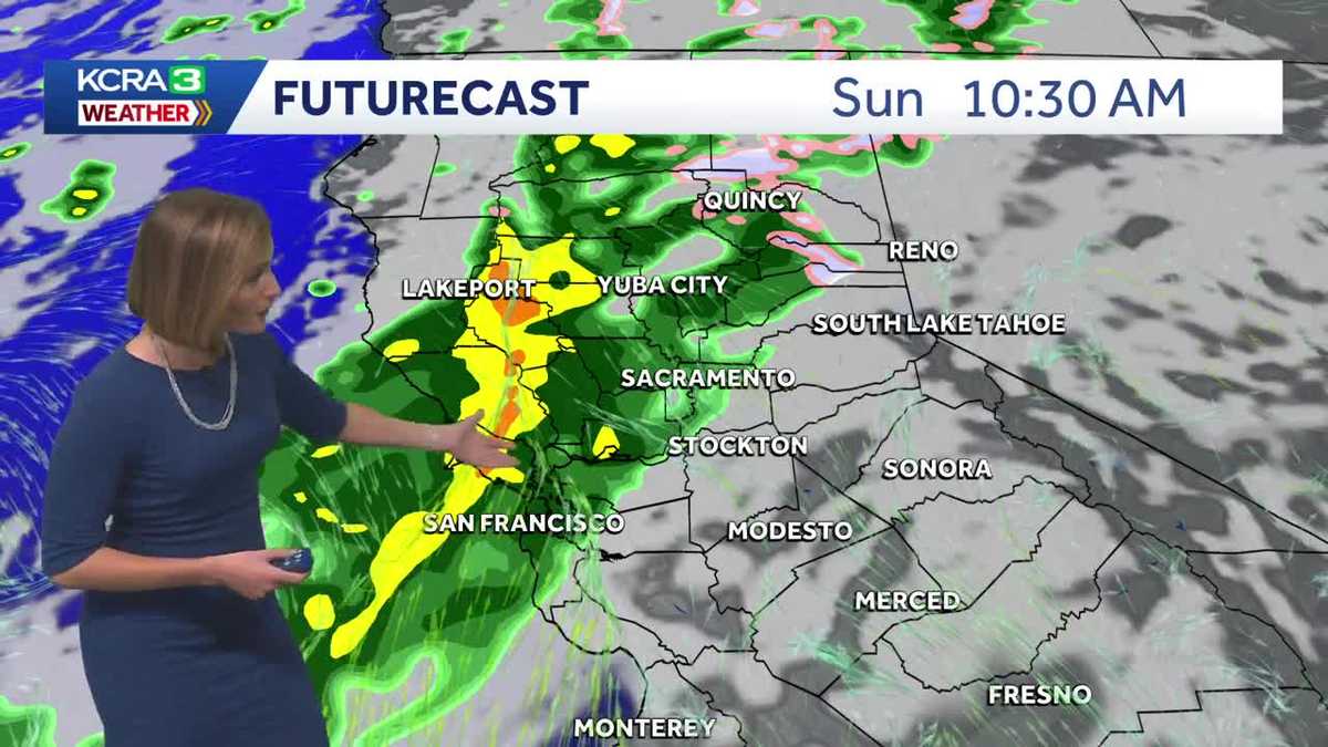
The second storm system is anticipated to approach Northern California on Sunday. Unlike the previous storm, this system will deliver lighter rain and snow but will sustain precipitation over a longer duration. Wind activity will also be milder, with gusts expected to peak between 20 and 25 mph. Key details regarding timing and precipitation amounts can be found in the graphics provided by the weather team.
Expected Timeline of Sunday’s Rainfall
- Morning: Certain areas may begin to experience rain as early as Sunday morning, initiating a gradual shift from northwest to southeast.
- Afternoon: By mid-afternoon, rain is projected to advance to the San Joaquin Valley and adjacent foothills, with snow expected to commence at elevations above 7000 feet by sunset.
- Evening: The snow level is likely to drop towards 6000 feet overnight, recommending potential chain controls on major highways, including I-80, Highway 50, and Highway 88.
Monday and Beyond
As the forecasts extend into Monday, light rain showers may persist in the morning hours, while light to moderate snowfall will continue in higher elevations above 6000 feet until around noon.
Precipitation Forecasts: Sunday to Monday
The second storm is expected to produce rain accumulations comparable to those from the initial storm, although the prolonged duration will result in a more gradual wetting of the area.
Snow Accumulation Insights
While snow totals from this second storm will be relatively lighter, conditions will still likely necessitate chain controls over the summits during Sunday night into early Monday.
Looking Ahead: Storm System on Wednesday
Tuesday is forecast to bring a welcomed reprieve from the wet weather, paving the way for the arrival of the third storm system on Wednesday. This upcoming storm may exhibit increased intensity, with potential for gusty winds, heavy rainfall, and significant snowfall. It is anticipated to be the most substantial snow-producing event of the series.
More precise details regarding the timing and expected precipitation amounts for this storm will be updated in the coming days.
