


Severe Weather to Affect the Western United States
As the week progresses, a series of powerful Pacific storms is set to impact the Western United States, bringing significant rain, heavy snow in mountainous regions, and possible damaging winds. These conditions may last throughout the week, raising concerns about travel and safety.
Current Weather Conditions
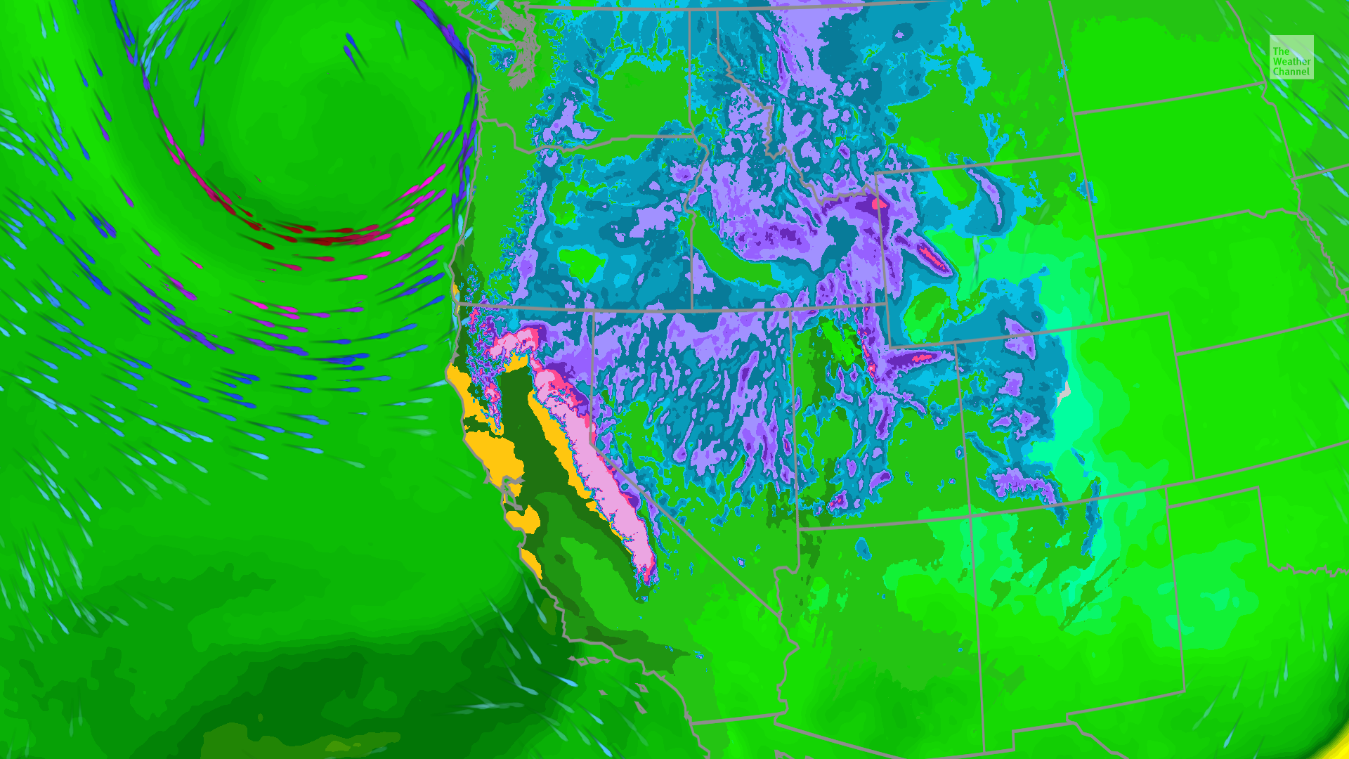
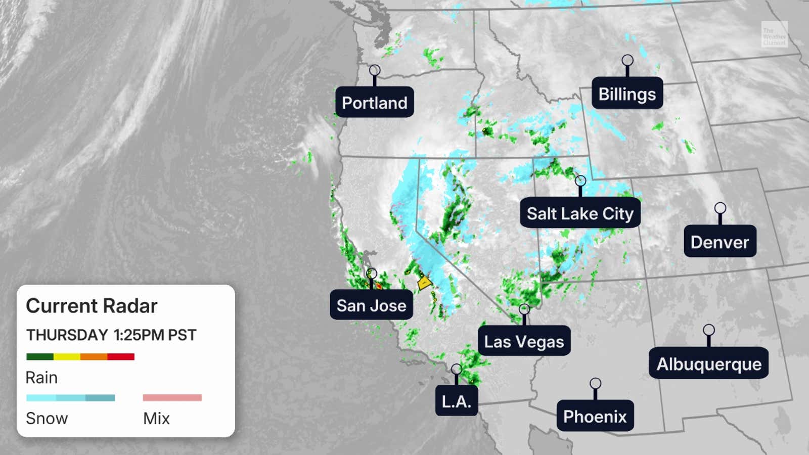
The ongoing weather pattern shows that heavy rain and substantial snowfall are being experienced primarily across the Sierra Nevada mountains and the Cascades. A low-pressure system is moving in from the west, causing one storm to exit while another approaches. This influx of moisture is predicted to create slick and hazardous road conditions overnight.
Projected Rain and Snowfall Trends
The forecast indicates that rain and snow will arrive in waves as new storms make landfall. Here’s a breakdown of expected conditions for the upcoming days:
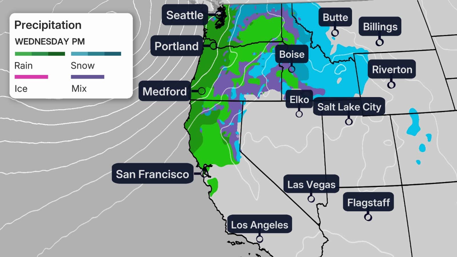
Wednesday
- Heavy precipitation will be concentrated in the Sierra Nevada region.
- Snow is anticipated at lower elevations due to below-average temperatures.
- Intense rainfall rates at the California coastline could exceed one inch per hour, leading to a risk of localized flooding.
Thursday
- The Sierra Nevada is expected to experience the most severe conditions, potentially impacting travel significantly.
- Heavy snow is projected not only across the Sierra but also extending into the Intermountain West.
- Increased rainfall will move southward into Southern California regions, including Los Angeles and San Diego.
Snow and Rainfall Forecast
While individual storms may not contribute massive amounts of precipitation, the cumulative effects are raising alarms about the potential impacts:
Snowfall Concerns
- Winter storm warnings have been issued, forecasting between 2 to 4 feet of snow in the Sierra Nevada.
- Strong winds, with potential gusts of 25-40 mph in lower elevations, and as high as 100 mph on ridgetops, could exacerbate conditions and result in downed trees or power outages.
Rainfall Predictions
- Expected rainfall totals may reach 3 to 6 inches along the California coastline, with localized areas potentially exceeding this amount.
- As soils remain saturated from previous storms, the risk of flooding, landslides, and debris flows remains elevated. Flash flood watches are already in effect for coastal California regions.
Conclusion
The series of storms moving through the Western U.S. poses significant challenges for travel and safety over the coming days. Residents and travelers are advised to stay updated on the latest forecasts and prepare for potentially hazardous conditions.
For more information, visit Weather.com.
